Seisme dans les Alpes le 7 avril 2014 par Pierre Tinard - CCR

PUBLICATIONS
Expert opinion: Earthquake of magnitude 4.8 on 7 April 2014 in the French Alps
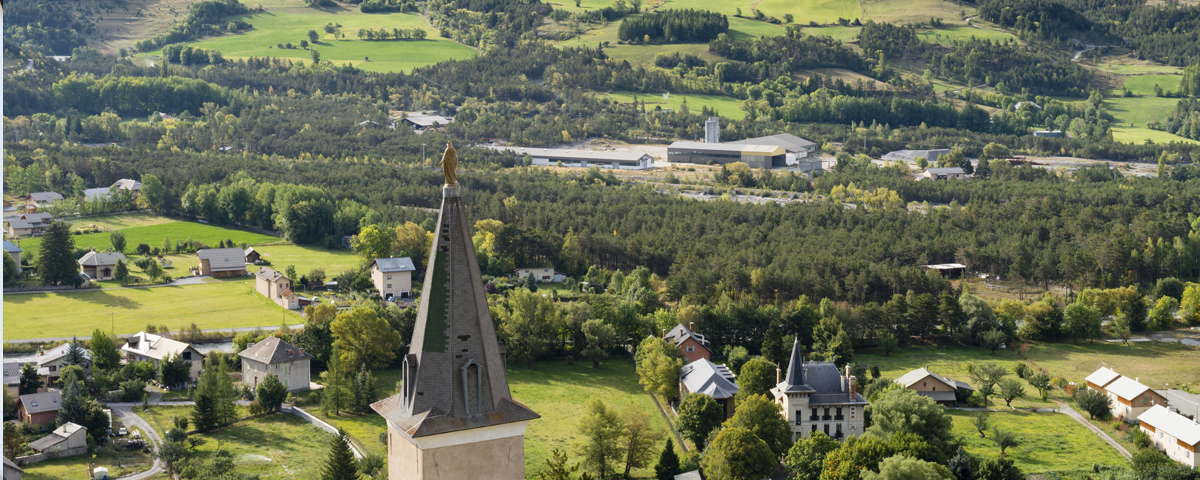
On Monday April 7, 2014 at 9.27 p.m. an earthquake of a magnitude of 4.8 to 5.0 on the Richter scale occurred on the border between the Hautes-Alpes and the Alpes-de-Haut-Provence departments, 9 kilometers north by northeast of the town of Jausiers and 2 to 5 kilometers below the earth's surface.
04/10/2014
Background:
These types of events are not uncommon to France. Since 1982, 23 earthquakes of a magnitude of over 4.8 (up to 5.8 to date) have occurred on the French mainland.
While the quake was felt throughout the southeast quadrant of France, the resulting damage was restricted to a small number of municipalities particularly Jausiers and La Condamine-Châtelard:
• a road, several homes and a church bell suffered cracks,
• numerous chimneys as well as ceiling material and pieces of building facade fell to the ground,
• the structure of one building appeared to have been severely damaged.
This region, the western border of the French Alps, is known for its frequent seismic activity of weak to moderate magnitude. This is a monitored zone that has been closely watched since the "Ubaye" crisis of 2003 and 2004 when the area was struck by an extensive group of no less than 16,000 tremors over a period of a few months. Most of the tremors were of a magnitude of less than 3.0; too weak to be felt by the local population.
Similarly, following the February 2012 earthquake an even larger group of over 2,500 tremors was recorded after the initial shock wave. Out of the total number of tremors, approximately fifty were actually felt by the population residing in the surrounding valleys.
Explanation:
Differing opinions still exist as to the actual depth of the earthquake with estimates ranging from 2 to 5 kilometers deep. Regardless, the quake occurred near the earth's surface which explains in part why the event was felt over a broad area of up to 150 kilometers around the epicenter in the large southeast quadrant of France from Grenoble to Marseilles and on to Nice further to the east.
The earthquake most certainly did not cause any major damages yet one must bear in mind that France covers a territory that is prone to earthquakes, especially the French Antilles. Earthquakes of destructive force are relatively uncommon although some may generate significant losses. The history of earthquakes occurring in France since the establishment of the French compensation scheme for Natural Disasters serves as a reminder of this fact.
The Lambesc earthquake:
In terms of historic earthquakes, the Lambesc earthquake of 1909 which occurred near the town of Aix-en-Provence, in the Bouches-du-Rhône department, is still well-known to the inhabitants of Southeast France mainly because it caused:
• the loss of 46 lives,
• the destruction of approximately 3,000 homes,
• damage to 5,000 other residences.
In 2011, CCR and the French Geology and Mining Research Institute (BRGM) jointly carried out a study to assess the cost of the Lambesc earthquake if it were to occur today. It was estimated that such cost would amount to upwards of € 2 billion covered within the scope of the French compensation scheme for natural disasters.
Expert opinion: Earthquake of magnitude 4.8 on 7 April 2014 in the French Alps
On Monday April 7, 2014 at 9.27 p.m. an earthquake of a magnitude of 4.8 to 5.0 on the Richter scale occurred on the border between the Hautes-Alpes and the Alpes-de-Haut-Provence departments, 9 kilometers north by northeast of the town of Jausiers and 2 to 5 kilometers below the earth's surface.
Read online